Module 1 was concluded by face-to-face activities on June 3-4, taking place online due to the pandemic. These activities aimed to improve the knowledge gained by studying the learning materials in a real-world scenario. Students had to work independently on completing a task by combining their understanding of the topic and applying various data sources and free and open-source software. Face-to-face activities were compulsory for students from Masaryk University, University of Basilicata and National and Kapodistrian University. All the other students were free to join.
On the first day, during the four-hour session, students practised two different exercises. In unit "Geodesy", students had to prepare coordinates of historical monuments through studying various map sources in a format compatible with a total station or GNSS receiver. In unit "GIS", learners were georeferencing a photo, digitising its content and preparing a digital map. Fifty-nine (59) students were participating in these activities.
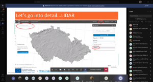
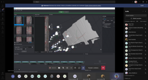
On the second day, learners were engaged in the last two activities. During a two-hour session, "Before excavation", students had to find archaeological sites and monuments by researching various map sources (such as LiDAR, historical maps, satellite images) and prepare a report. In the last workshop, "3D visualisation techniques", learners created a 3D model and designed a graphical output. Forty-four (44) students were participating in these activities.
Face-to-face activities provided students with a chance to deepen their understanding of the topic. Through the workshop-like exercises and engagement with tutors, they were introduced to the world of digital archaeology.

